Background
Range Creek Setting and Previous Research
Setting
Located on the northern Colorado Plateau, Range Creek is one of the deep canyons of the Green River drainage, with a confluence just below Desolation Canyon [Figure 1]. The terrain is rugged and steep [Figures 2 & 3], heavily vegetated, and the catchment supports an amazing array of indigenous flora and fauna. Diverse habitats include all the major biotic communities common to the northern Colorado Plateau. Ecological zones range from mixed sub-alpine and riparian taxa at elevations above 8,000 ft. in the upper canyon, to hot desert shrub communities in the lower canyon at 4,250 ft. No rainfall data are available for the canyon itself, but precipitation in nearby Price, Green River, and Nutters Ranch averages only about 10-12 inches per year, with most rain falling between May and October. Nevertheless, the canyon has abundant surface water. Range Creek has significant water flow year-round, which contributes to the relatively lush natural environments and potential agricultural yields. This outflow is largely the result of dozens of perennial springs and runoff from the West Tavaputs Plateau.
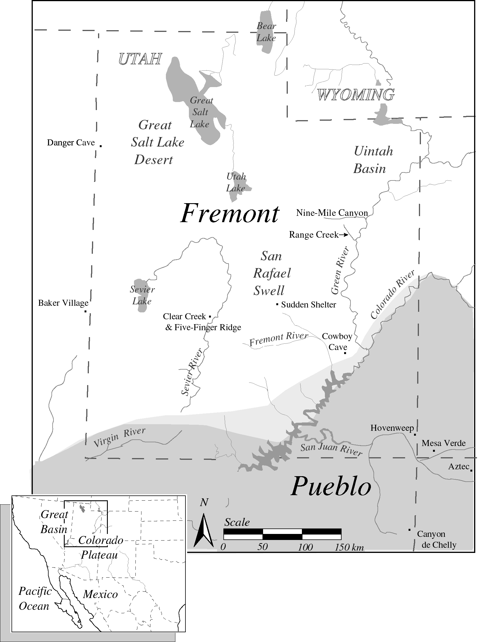
Figure 1. Map of Utah showing the location of Range Creek. (Please click figure 1 to see a larger photo.)
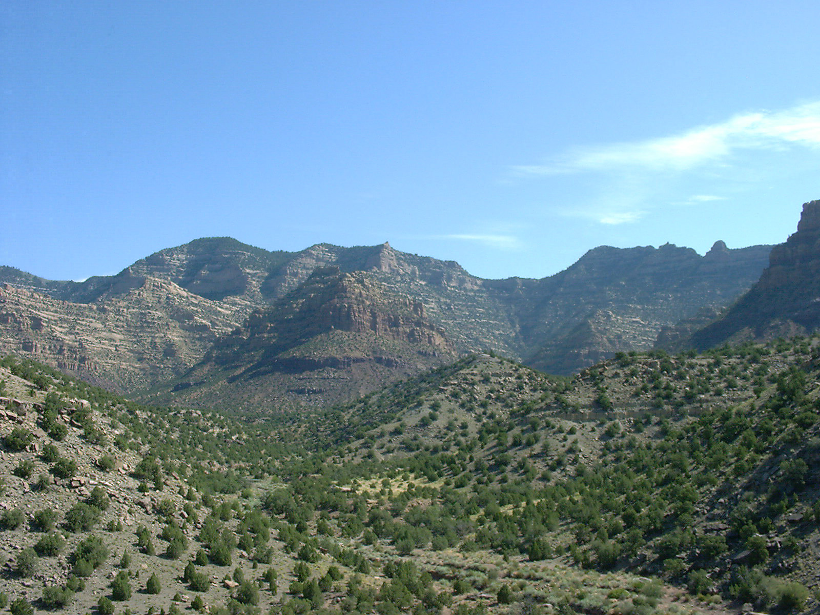
Figure 2. The pinyon-juniper environment of the Range Creek area.
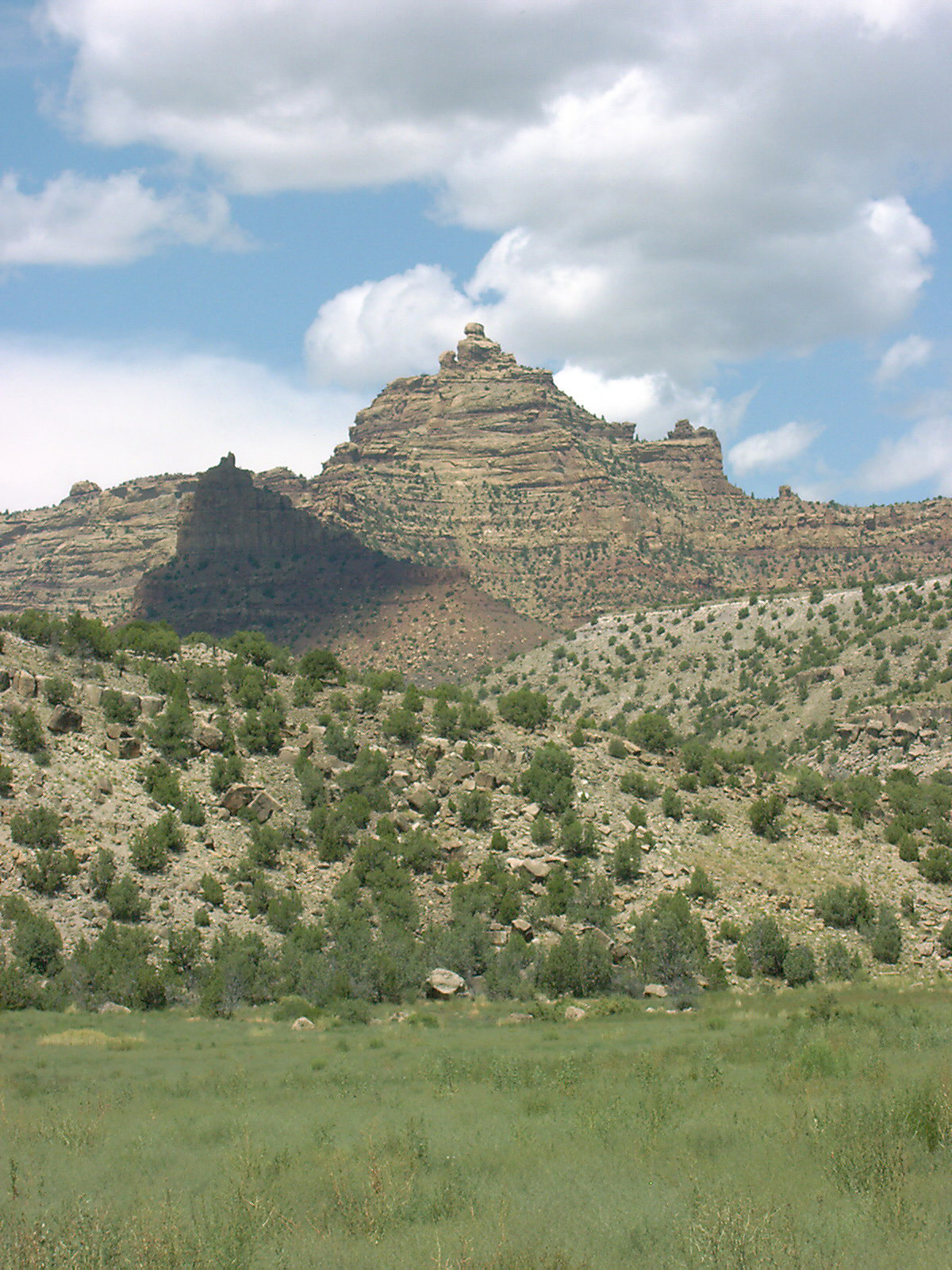
Figure 3. The valley, foothills and cliffs of the Range Creek area.