Methods
The methods and techniques used to accomplish our objectives include:
We reanalyzed existing dendrochronological collections, conducted intensive fieldwork and analysis, and synthesized the results of all dendroarchaeological and dendroclimatiological research in eastern Utah.
Sample Collection
The most important and intensive part of the project was the dendrochronological fieldwork conducted by Towner, Barlow, Salzer, Jeffrey S. Dean, and a crew of students. We collected samples from four specific living trees sites[figure 1] using a Swedish increment borer[figure 2] to strengthen and extend the modern chronologies; we resampled the Minnie Maud sites, and developed new living tree sites that exhibit appropriate old-tree characteristics. [figure 3] We targeted xxxxx of the granaries in the Range Creek that were known to contain timbers for intensive fieldwork; ultimately, we collected xxxx archaeological and xxxx live-tree samples from the area.
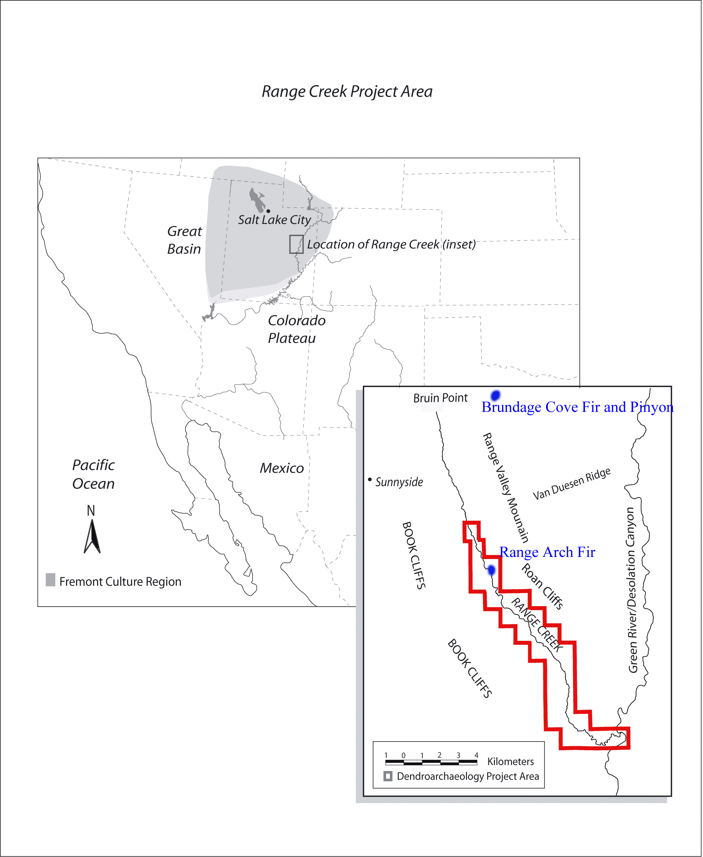
Figure 1. Map of NE Utah showing live tree collection sites, Brundage Cove Fir (BCF), Brundage Cove Pinyon (BGC), and Range Arch Fir (RAF).
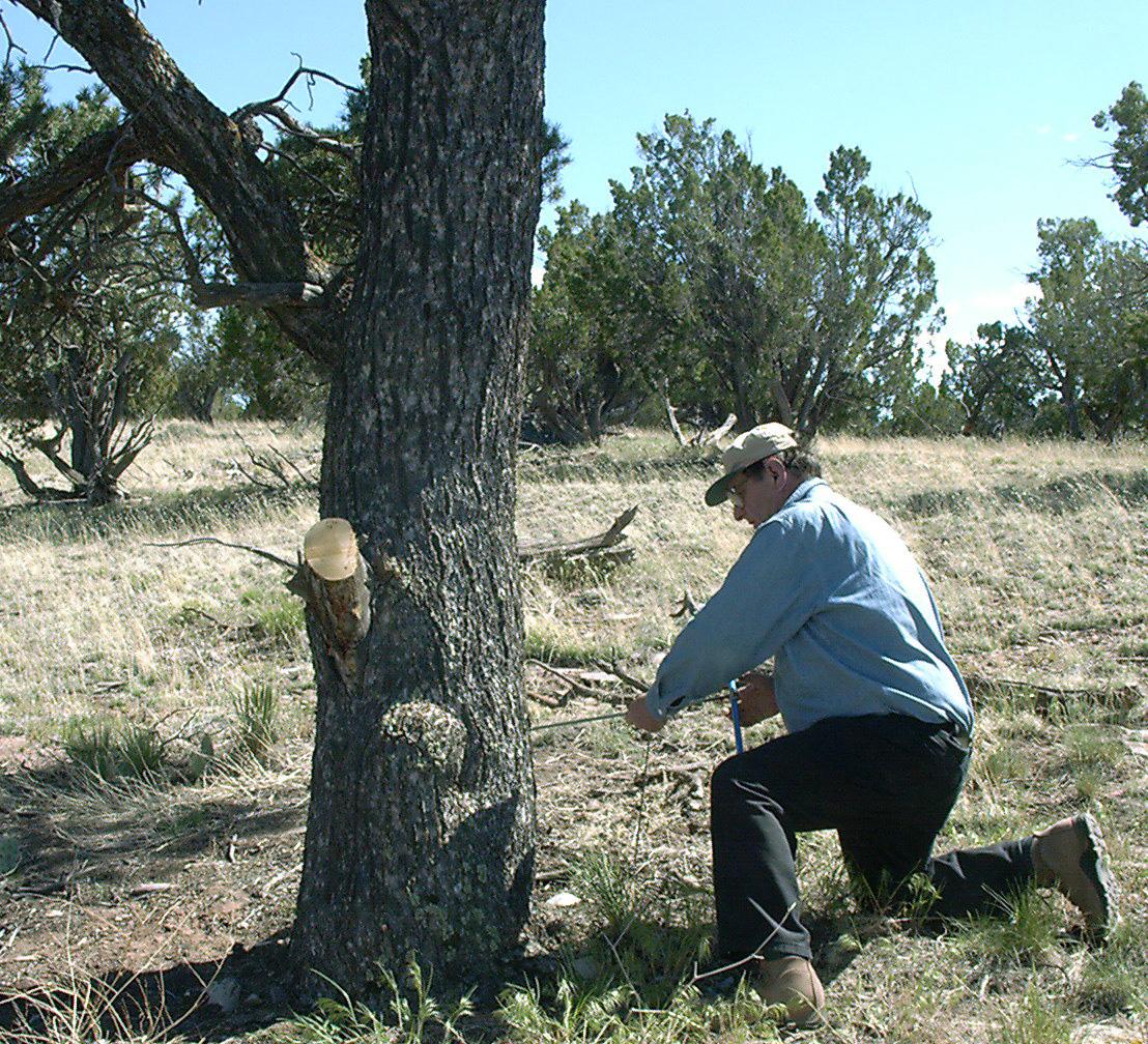
Figure 2. Jeff Dean coring a pinyon tree using a Swedish increment borer.
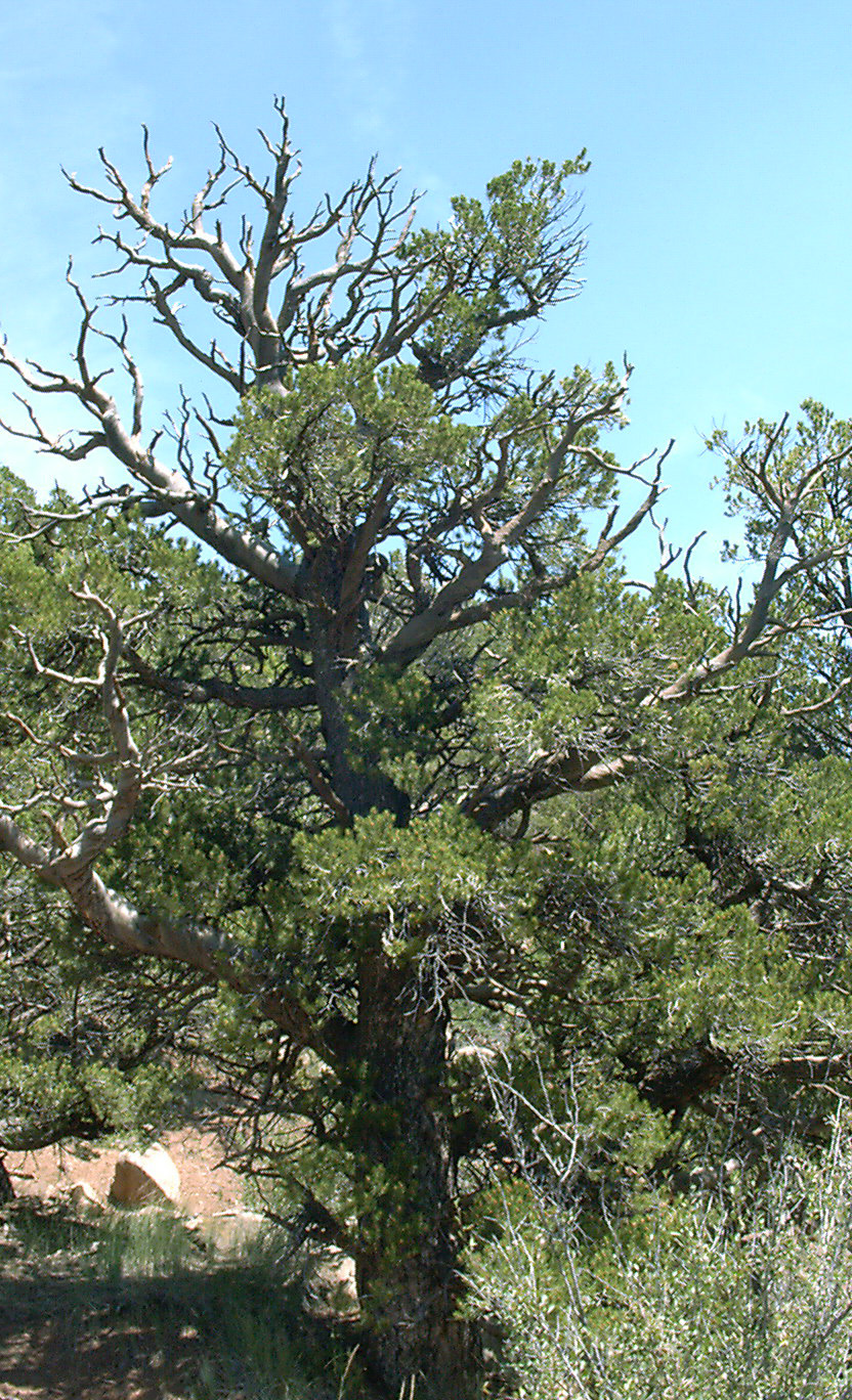
Figure 3. A pinyon pine that exhibits attributes typical of long-lived conifers, such as a spiked top and spiral grain.
The archaeological sites were selected for specific reasons. First, the selected granaries contained preserved timbers amenable to dendrochronological sampling using specially designed tools and battery powered drills. Second, the sites were generally well preserved and retain significant architectural data that aided in the identification of anomalous tree-ring dates and interpretations of past human behaviors.
The majority of dendroarchaeological samples were be collected from prehistoric archaeological sites (granaries), although a few were also collected from nearby historic period structures to aid in chronology development. Each appropriate beam in a site or structure was sampled with a specially designed 1/2" core bit. The core holes were filled with labeled corks or dowels imprinted with the sample number, thus insuring a permanent field record of the research. Power for the sampling was provided by 18 volt Dewalt cordless drills. [figure 4 ]
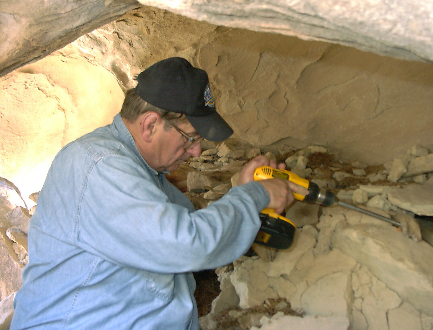
Figure 4. Jeff Dean collecting an archaeological tree-ring sample.
The detailed site maps illustrate the relationships between granaries, location of all features, such as hearths, and the provenience of each beam (sampled or unsampled). The resulting maps provide critical information concerning the internal site dynamics, and serve as baseline documents for future research and management. They will also enable us to identify anomalous tree-ring dates that result from past human behaviors, such as stockpiling, deadwood use, and beam reuse (Ahlstrom 1985; Dean 1978; Towner 1997).