Dendroarchaeology
Fieldschool 2006 Projects
|
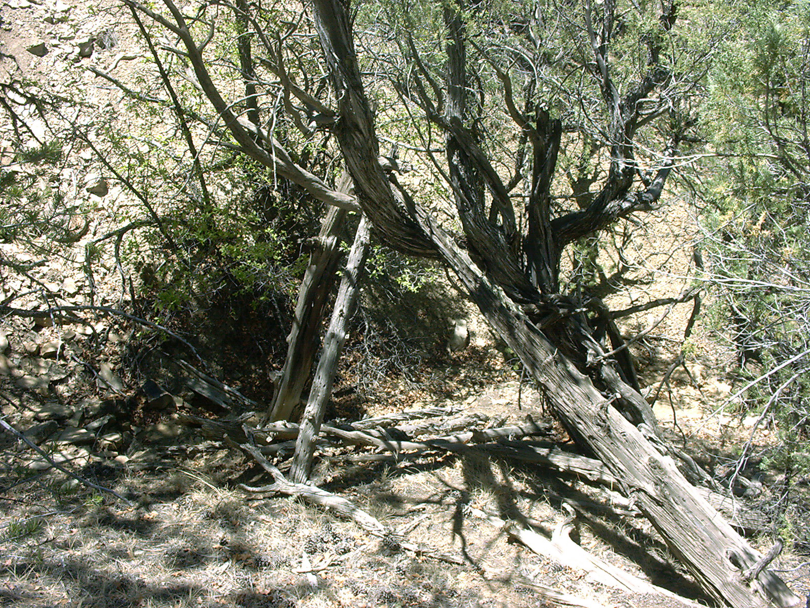
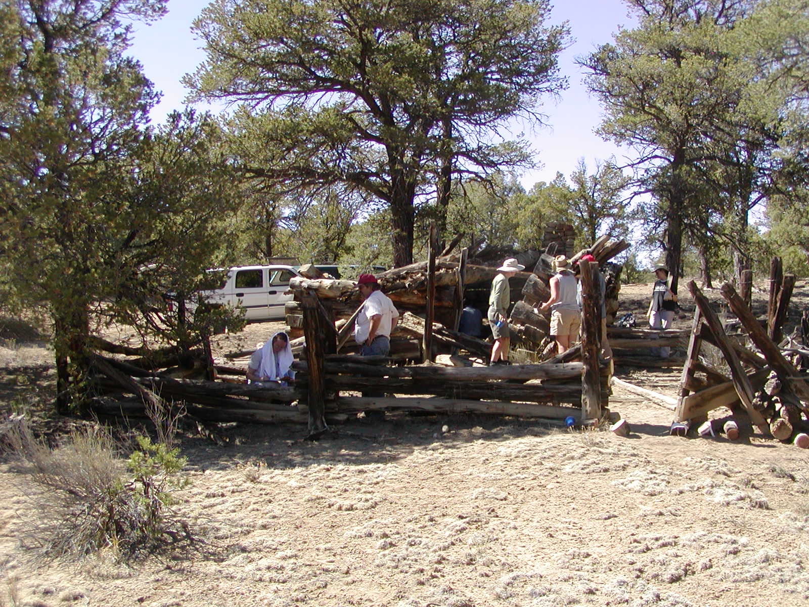
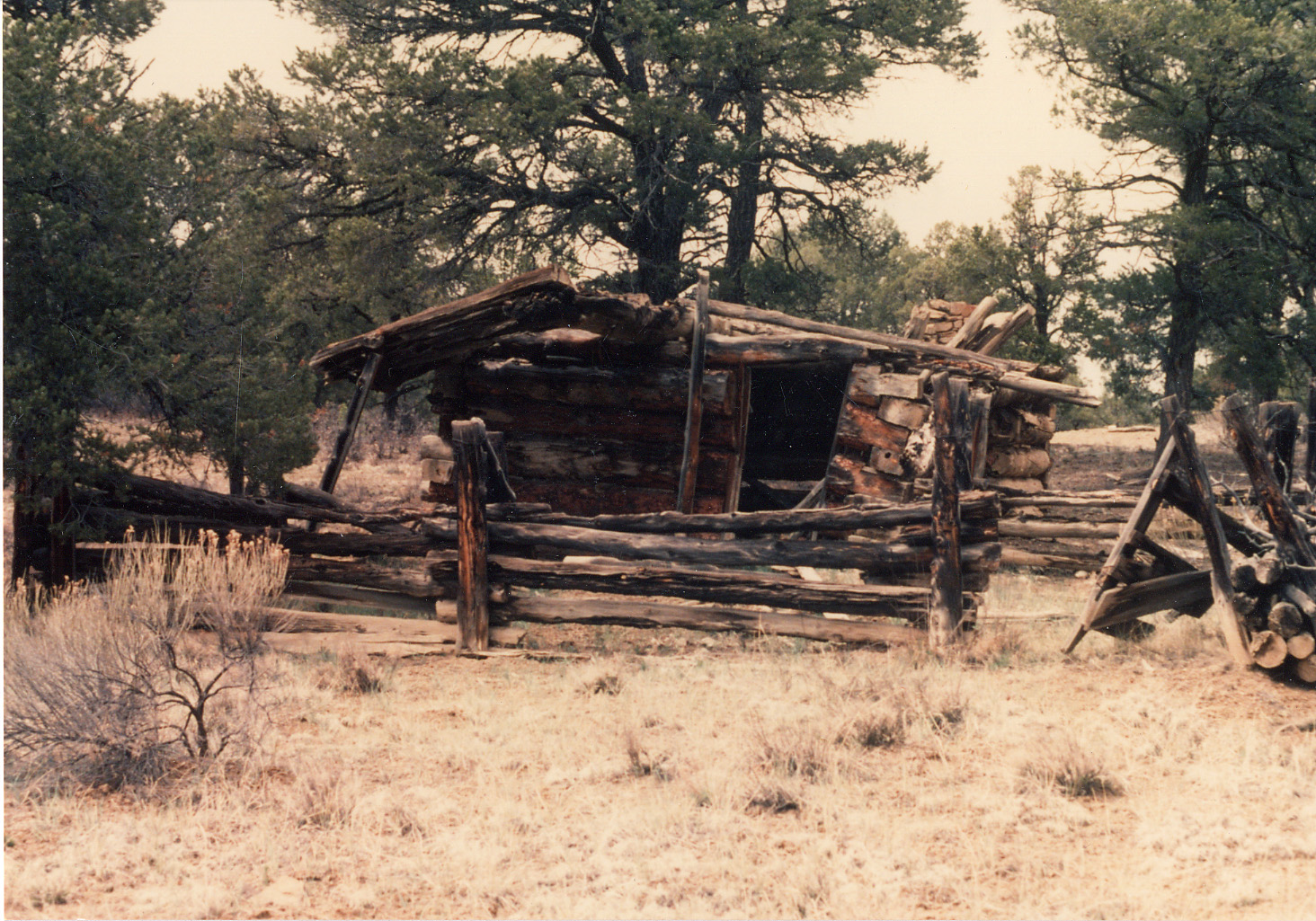
The general project area for the 2006 season was in western New Mexico near the El Malpais Conservation Area. The field portion of the course involved sampling four sites, all of which are located on lands administered by the New Mexico Bureau of Land Management (BLM), Rio Puerco Field Office. The sites include two forked-pole hogans, a historic homestead, and a previously unrecorded log-and-brush fence. Based on architectural styles, both hogans are assumed to be Navajo constructs and the homestead is assumed to have been built by Anglo ranchers; the log-and-brush fence could have been built by Navajo, Anglo, or Hispanic occupants of the area. In addition, the students also sampled historic peeled trees in northern New Mexico (publication forthcoming). |
|
|
|
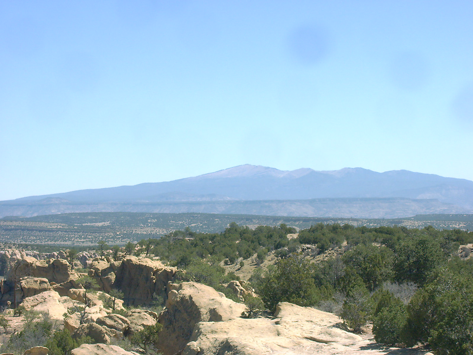
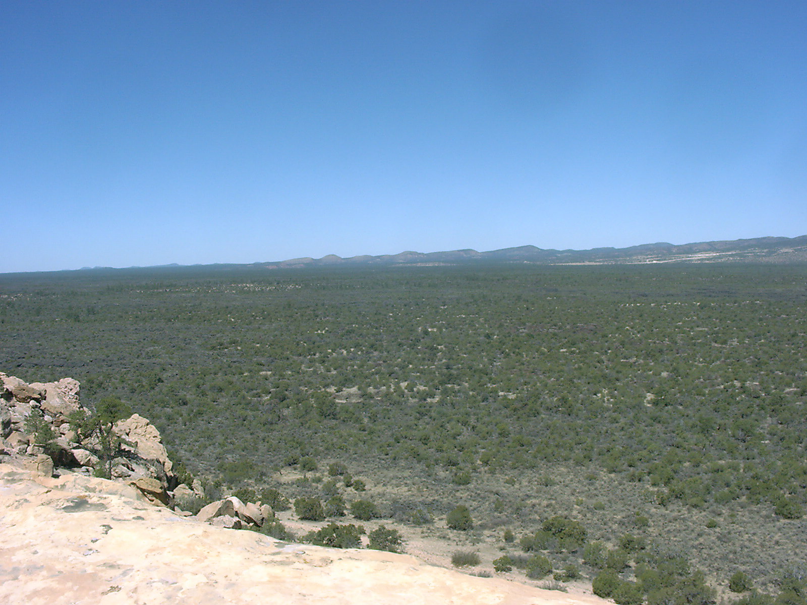
Dominated by Mt. Taylor, also known as Dootl’izhiidziil--the Navajo sacred mountain of the South—the area is nestled between the Colorado Plateau on the north, Rio Grande Valley on the east, and Mogollon Highlands on the south at an elevation of 6500-7500’ asl. The most significant geologic features of the area are the great lava flows emanating from Mt. Taylor, which are bounded on the east by sandstone cliffs of Cebollita Mesa. |
|
Although abundant archaeological research has been conducted
in the area of the past 100 years, only two recent CRM-related
projects directly concern this project. The first was a predominately
volunteer project, supported by the Bureau of Land Management, to
record many of the historic homesteads on the Monument and BLM lands
to the south and east. The lead volunteers, K. and S. Harvill, did a
tremendous job documenting the many sites and features. Their 1990
photographs have proved to be an invaluable resource for both
research and preservation efforts. The second was a more traditional
CRM survey conducted by Cibola Research Consultants in 2004; they
recorded both hogan sites, LA 143525 and LA 143526, that were sampled
as part of this project.
|
|
The El Malpais area has been the subject of significant research in the past—both dendrochronological and archaeological. Dendrochronology received a major boost by the discovery of long-lived Douglas-fir trees on the El Malpais lava flows; the dendroclimatic information gleaned from these trees has played an important role in recent reconstructions of long-term trends in southwestern precipitation patterns (Grissino-Mayer 1996). |
|
| The nature of the project and project participants
necessitated a dual set of project goals. First, student training was
of paramount importance. The primary objective of the Geosciences 497J/597J
course is to train students (undergraduate and graduate) and
professionals in the collection, analysis, and interpretation of
dendroarchaeological samples. This goal was clearly met: the course
involved lectures on dendrochronological theoretical and
methodological principles, and the field portion presented “real
life” technical, logistical, and methodological problems for
the students to solve. It also provided the opportunity for students
to work as a team in a field setting as they received training and practice in standard dendroarchaeological sampling techniques. Finally, the laboratory
analysis portion of the course taught the students the basics of wood
species identification and crossdating, and allowed them to develop
their own interpretations of the data collected in the field.
In terms of the specific sites investigated, our goals were
strictly dendroarchaeological. We wanted to glean as much
chronological, behavioral, and environmental information from the
sites and samples as time allowed. We conducted no additional
archaeological documentation or analysis beyond that necessary to
interpret the contexts of the tree-ring samples. In the chronological
realm, we wanted to learn when the sites were initially founded, how
long they were occupied, and when they were abandoned. In terms of
behavior, we were interested in the site occupants’ view of
wood as a resource—which species did they exploit for which
structures and architectural elements? What tools and methods did
they use to procure and modify wood to meet their needs? Did they
preplan construction and stockpile timbers? Did they repair and/or
remodel structures? Dendroarchaeological samples contain two types of
environmental information: climatic and distributional. |
|
Cebolla
Hogans and Fence |
Cebolla
Homestead Cabin |
Repeat
Photography |
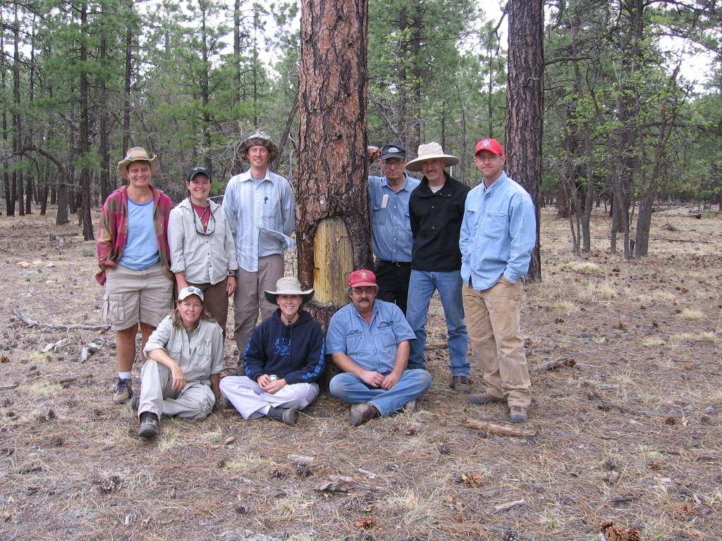
| Acknowledgements: This project was a collaborative effort of the Laboratory of Tree-Ring Research and Bureau of Land Management Albuquerque District. The recently retired BLM archaeologist Mr. John Roney and Rio Puerco Field Office Director Tom Gow deserve credit for bringing the sites to our attention and our thanks for facilitating the project. Dr. Tom Swetnam, Director of the LTRR, has supported the Dendroarchaeology course in many ways, for which we are extremely grateful. As always, Jeff Dean’s aid and advice have proved invaluable. Jim Parks, Rex Adams, and Chris Baisan of the LTRR helped immeasurably throughout the class. Finally, the students and participants, Stephanie Hubert, Steve Jack, Troy Knight, Leigh Perry, Marcy Reiser, LouAnn Way, and Andy Yentsch did the work and deserve my sincere thanks. |
Ron
Related Links Return to Dendrochronology Fieldschool Webpage Return to LTRR homepage