Geography and Environment
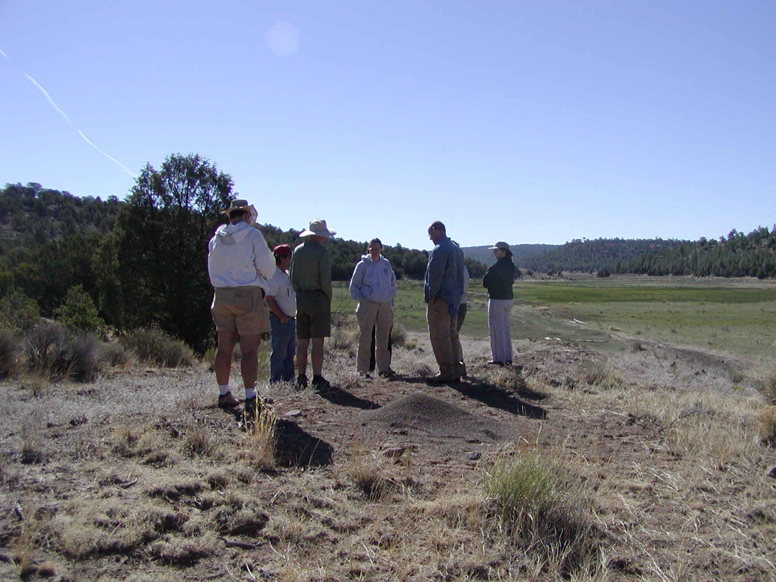
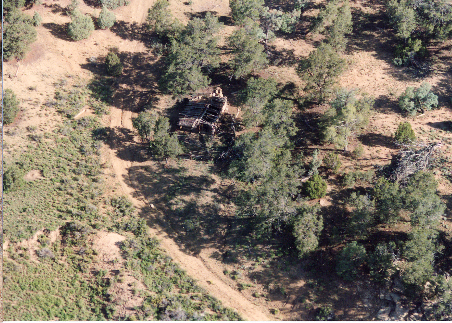
All of the sites sampled in 2006 are within a day's drive of Grants, NM, in the northwestern corner of the state. The topography of this region varies considerably. Between Gallup and Grants lie the Zuni Mountains, where the students sampled peeled trees (publication forthcoming) in the Cibola National Forest. To the south of Grants, the topography flattens out into broad plains dotted with wide mesas. In this area, the most significant geographical features are the extinct volcano commonly known as Mount Taylor, and the associated lava fields called "El Malpais". In the Cebolla Wilderness of the BLM's El Malpais Conservation Area, the students sampled two forked-pole hogans and a historic homestead. Both the hogan local environment and the homestead local environment are best understood within the broader context of northwestern New Mexico and the more specific context of the Cebolla Creek watershed.
Northwestern New Mexico
Geology Climate Ecology
Major Topographic Features
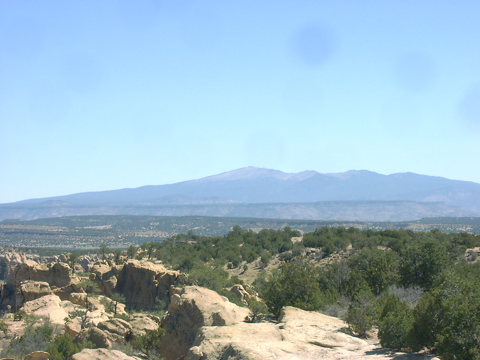 |
Mt. Taylor stands northeast of Interstate 40 near Grants,
New Mexico. Its peak elevation is 11301 feet above sea level. The mountain began to form nearly four million years ago, building lava domes and sending out lava flows and clouds of volcanic ash. Today the mountain is horseshoe shaped, with an interior valley. This geometry is similar to that of Mount St. Helens after its 1980 eruption. By analogy to Mount St. Helens, Mt. Taylor may also have erupted in a sideways explosion which blew the top off the mountain. The large volume of debris in the vicinity of Mt. Taylor indicates that this has occurred repeatedly, with the volcano rebuilding itself each time, until its final eruption approximately two million years ago. |
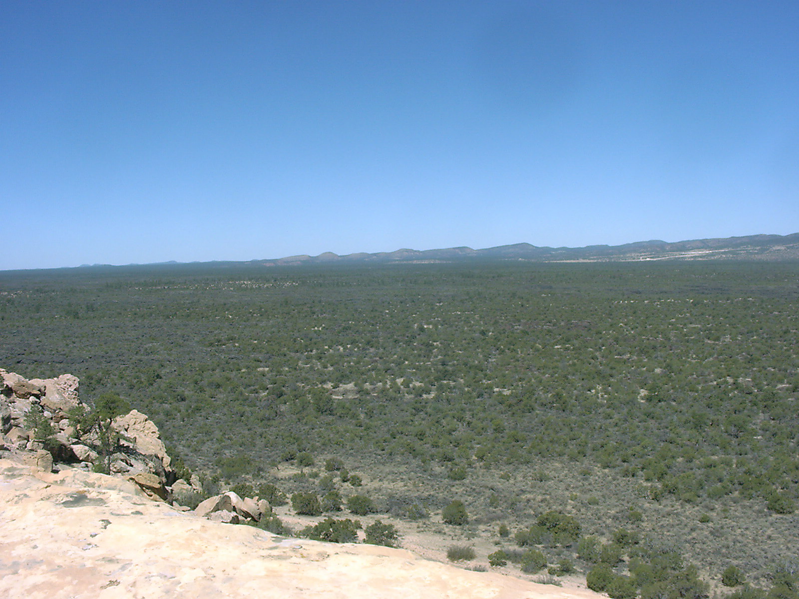
| El Malpais is located at elevations that range
from 6,500 to over 8,000 feet above sea level. The lava
covers an area of 60 by 35 miles. Several cinder cones and small craters are found in the area, mainly along the western edge. There are also a number of lava caves. Although they have been covered by scattered trees and bushes, the patterns of the molten lava are still easily recognised. One can see ridges several meters high which were produced by large or slow-moving flows, and smaller ripples at the edges. Interestingly, the lava flows themselves support the oldest living Douglas-fir trees (and possibly junipers) in the Southwest. Away from the lava flows, scattered stands of Ponderosa pine are located on north-facing slopes and in alcoves. |
 |
Geology
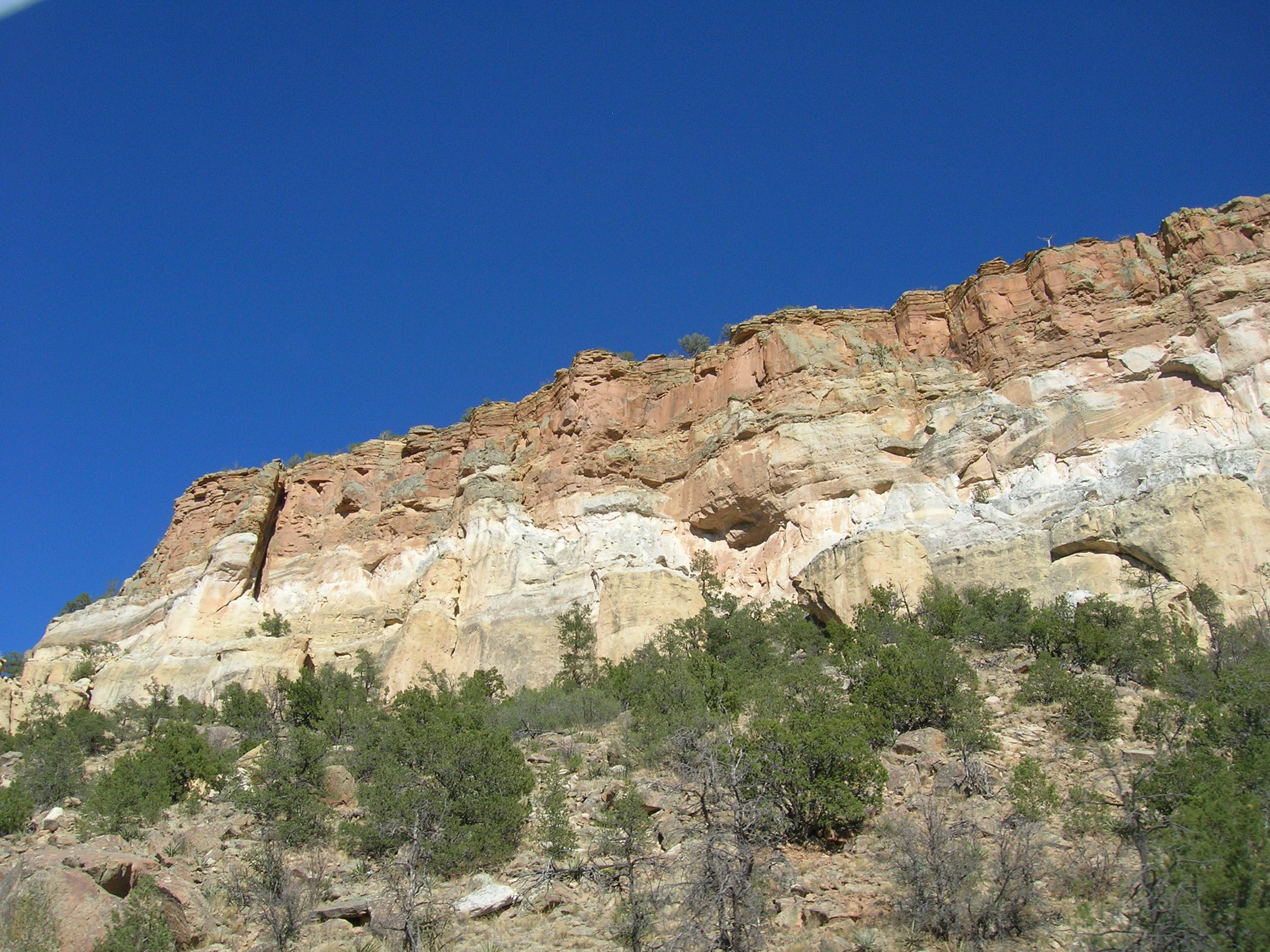 |
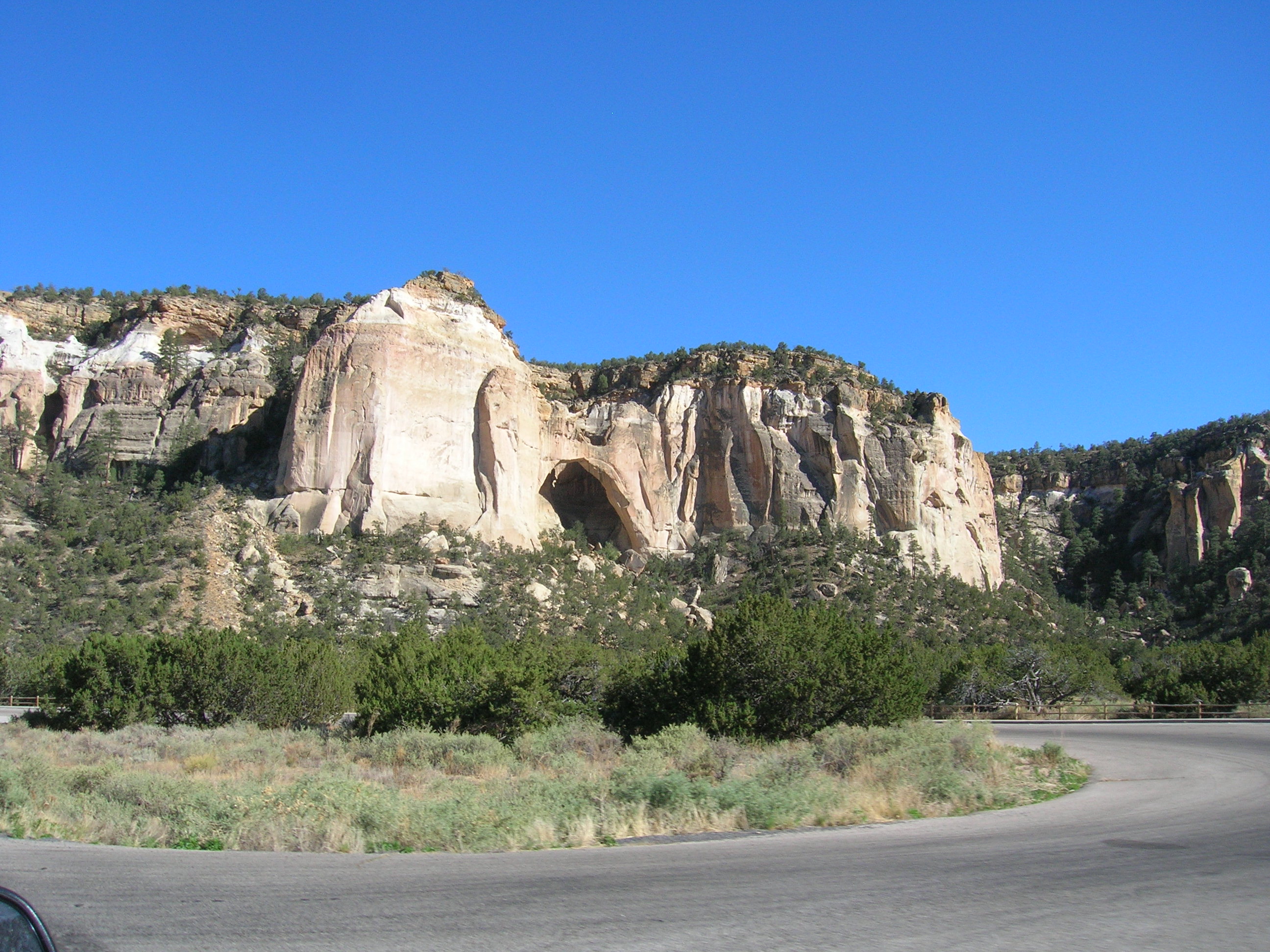
To the
north of El Malpais are limestone and sandstone ridges which date to the Permian Period
(~ 280 million years old). To the east and south are Dakota
Sandstone, Mancos Shale, and Crevasse Canyon formations dating to the Jurassic Period (~ 130 million years old). Around 3 million years ago, a basalt lava flow capped the area, forming erosion resistant mesas. Subsequent erosion created a landscape of wide valley bottoms and high mesas, with steep-sided canyons intruding on the mesas. |
 |
Climate
Northwestern New Mexico receives an average 15 inches of rainfall annually. Most of the rainfall comes from severe thunderstorms during the summer monsoon season (July, August, and September). The rest of the precipitation generally occurs as snow during the winter.
The area experiences a wide range of temperatures, not only seasonally, but also daily. Winter temperatures in the daytime range from 30-50 degrees Fahrenheit, plunging below -20 at night. Summer temperatures have a daytime range from 80-100 degrees, and a nighttime range of 40-60 degrees.
Ecology
BLM’s Cebolla Wilderness, part of the El Malpais National Conservation Area, includes approximately 63,000 acres of forested rimrock country east of NM 117.
Cebolla Creek Watershed
Hogan Local Environment
geological context?
drainage?
climate?
vegetation?
Cebolla Cabin Homestead Local Environment
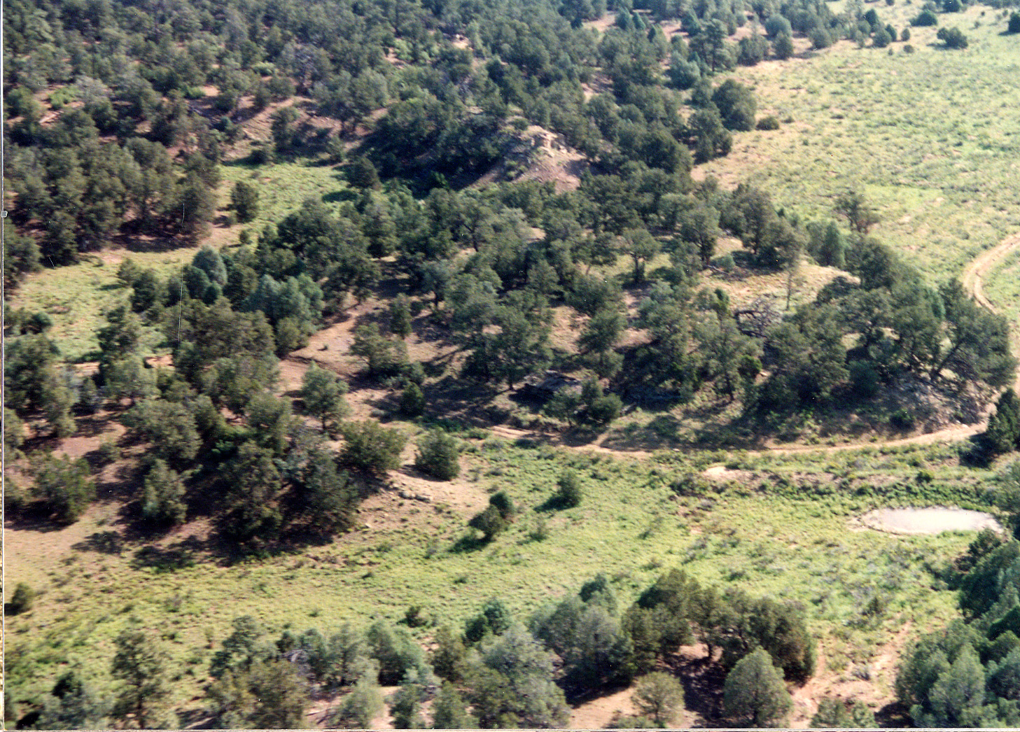 |
geological context? drainage? climate? vegetation? The cabin is on a (facing?) slope, overlooking an arroyo with clearings and earth dams. |
 |
Return to Top Return to 2006 Projects Page Return to Dendrochronology Fieldschool Webpage Return to LTRR homepage