University of Arizona
Laboratory of Tree-Ring Research
AmeriDendro 2013
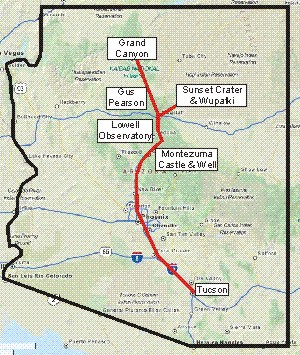
Grand Canyon Excursion
May 10 – 12, 2013
This pre-conference excursion has the following important details:
- It will run from 6:30 AM of Friday, May 10, through 4:00 PM of Sunday, May 12.
- It is not included in the AmeriDendro conference fee.
- It will cost $200 in addition to the conference registration fee.
- This price covers transportation, two nights motel lodging in Flagstaff (double occupancy, continental breakfast included), lunch for each day, and all park entrance fees.
- This price does not cover dinners, which will be paid for by participants on their own.
- This price does not cover other tourist purchases.
- Space will be limited to 20 participants.
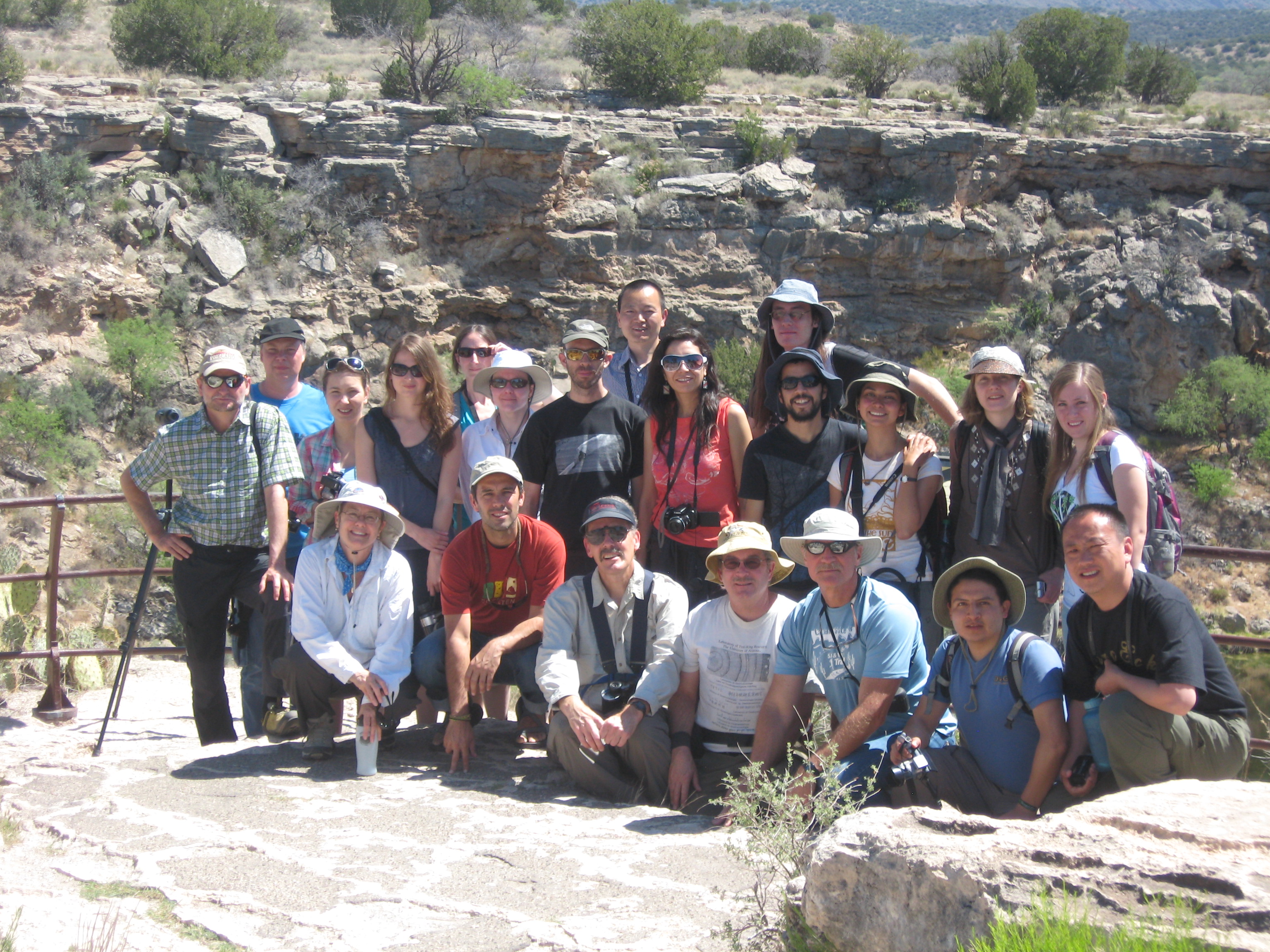
- Trip leaders and guides:
- Paul Sheppard: dendrochronology, forest ecology, environmental history of the Southwest, Sense of Place.
- Gary Huckleberry: geology, archaeology, environmental history of the Southwest, Sense of Place.
- Patrick Pfeifer: Grand Canyon, environmental sustainability, Sense of Place.
- Major highlights of this excursion are the following:
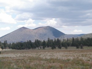
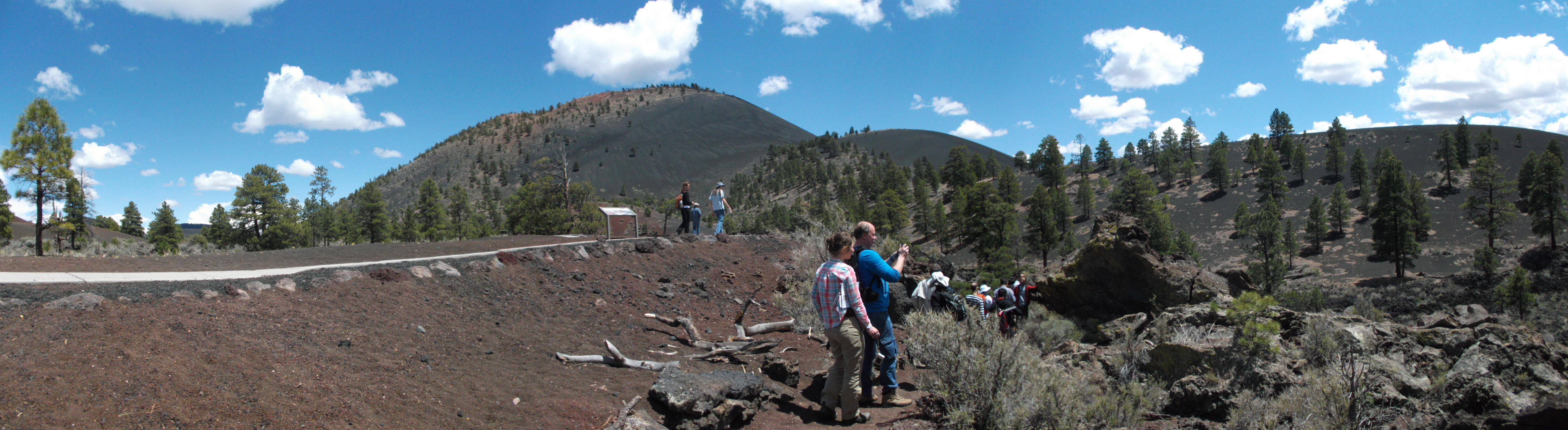
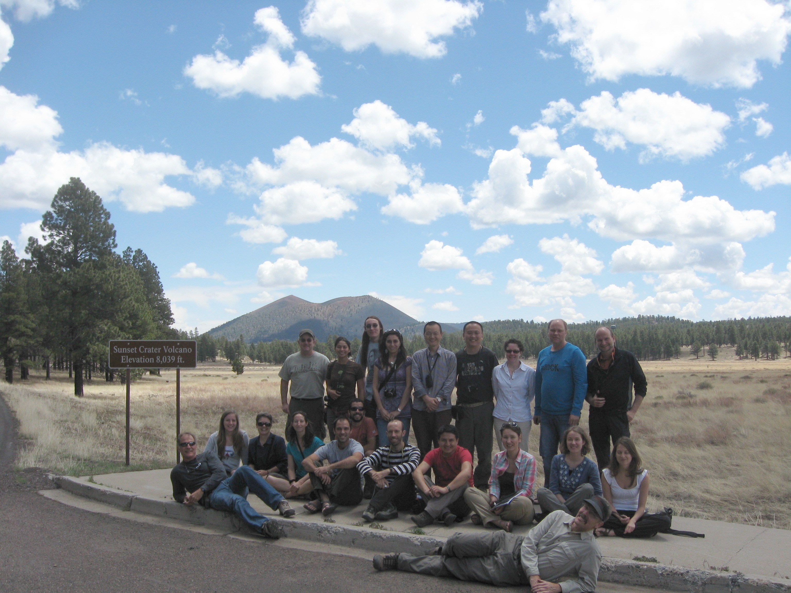
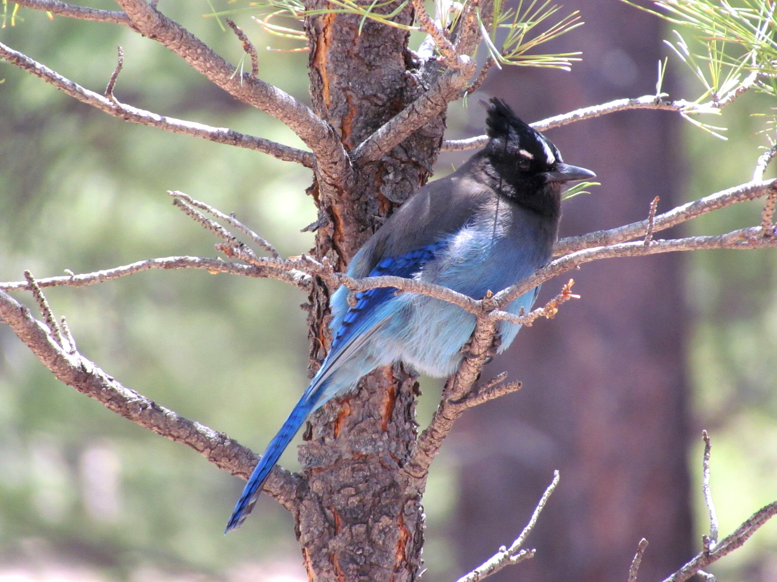
Sunset Crater
A cinder cone whose formation was dated to A.D. 1064 using tree rings. Dendrochronology, geology, and ecology on display here.
Click here to see more information about Sunset Crater.
Bob Sheppard
Paul Sheppard
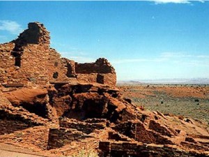
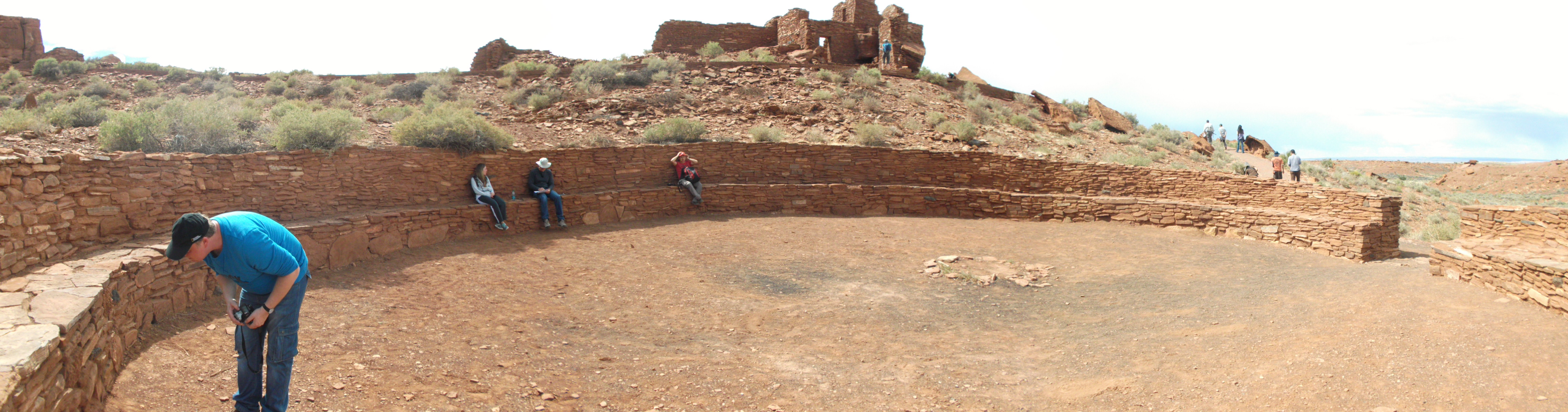
Natalia RiquelmeWupatki
A surface pueblo of the Sinagua Culture dated to the 1100s using tree rings. Dendrochronology, archaeology, and environmental history on display here.
Click here to see more information about Wupatki.
Bob Sheppard
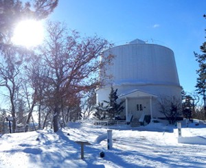
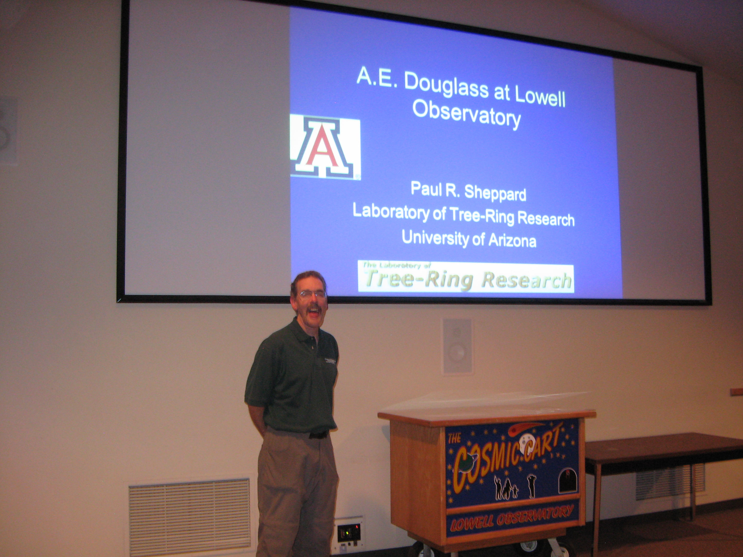
Paul SheppardLowell Observatory
In Flagstaff, the astronomical installation where A.E. Douglass began his Southwest career and from where Pluto was discovered. History of dendrochronology and sky gazing on display here.
Click here to see more information about Lowell Observatory.Click on image to get high-res version.
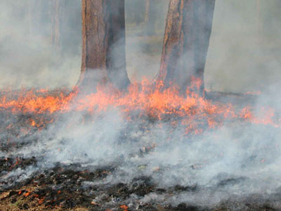
Greer WarrenGus Pearson Natural Area
Located within the oldest forest research station in the United States (1908), Gus Pearson has ecological restoration treatments utilizing thinning prior to reintroducing low-intensity fire.
Click here to see more information about the Gus Pearson.Click on image to get high-res version.
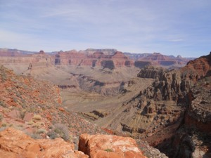
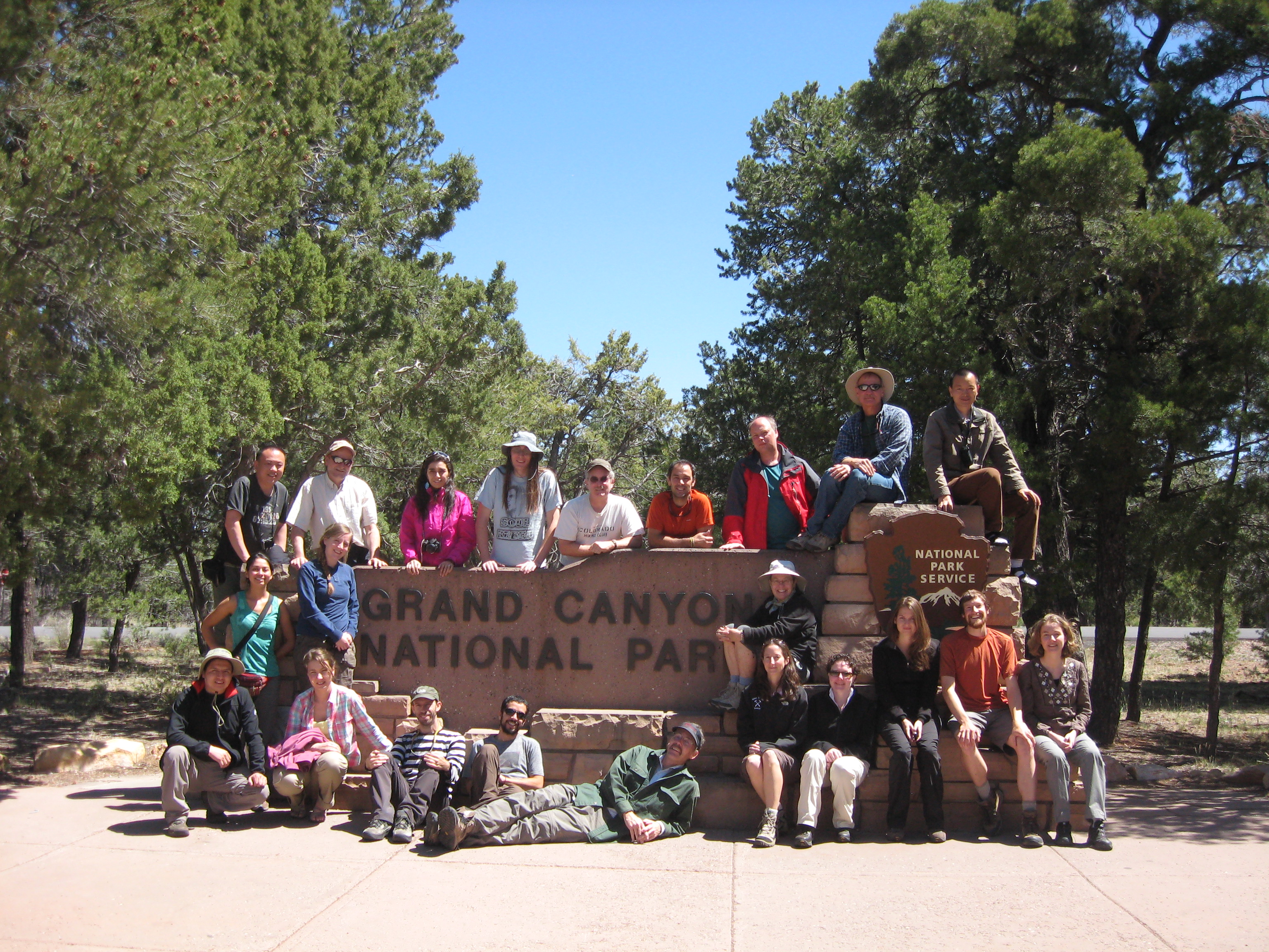
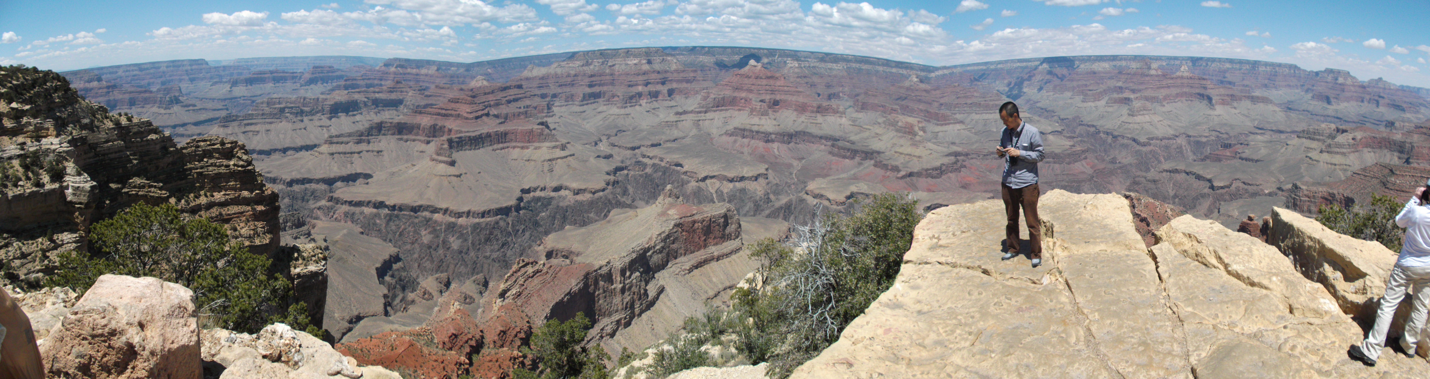
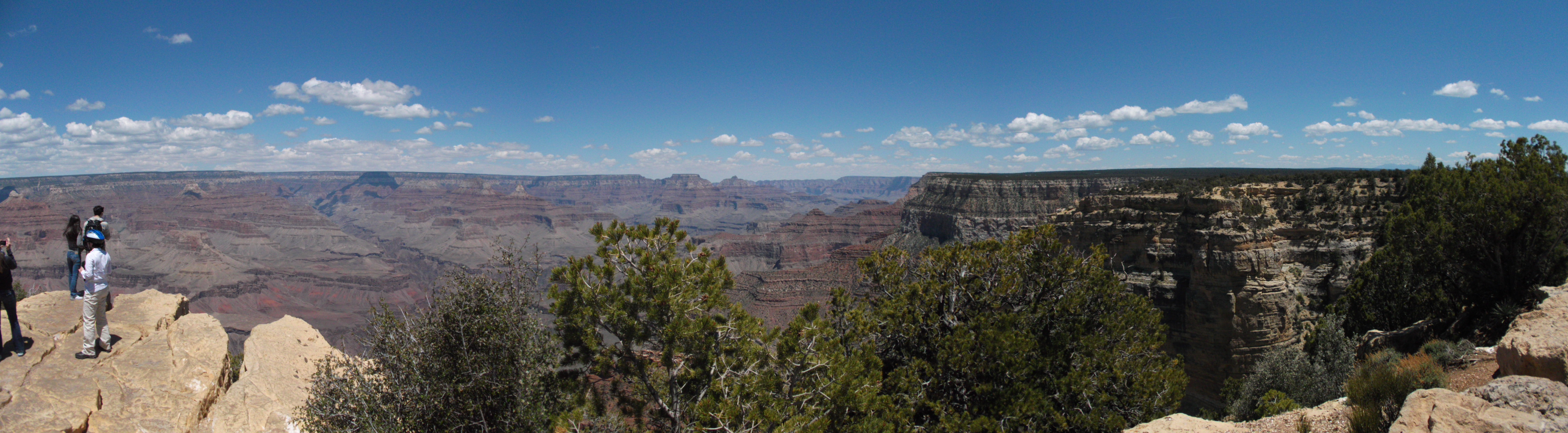
Paul SheppardGrand Canyon
One of the world's great natural wonders. Everyone should see the magnificent Grand Canyon in person at least once in life. Geology, forest ecology, and much picture taking on display here.
Click here to see more information about the Grand Canyon.
Paul Sheppard
Paul Sheppard
Bob Sheppard
Bob Sheppard
Bob Sheppard
Anouk Verheyden-Gillikin
Anouk Verheyden-Gillikin
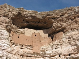
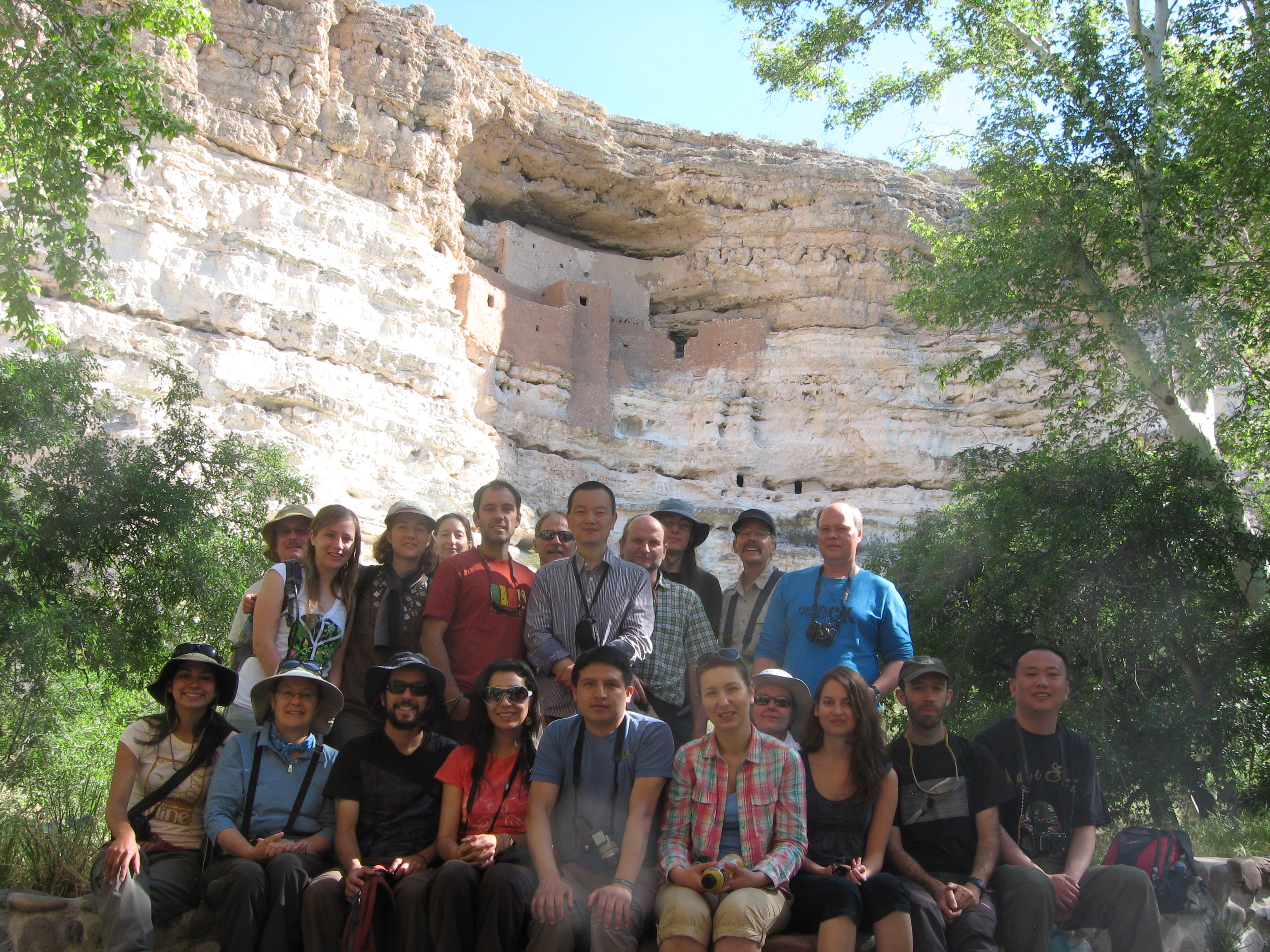
Montezuma Castle
Ancient cliff dwelling of the Sinagua Culture. Archaeology and environmental history on display here.
Click here to see more information about Montezuma Castle.
Paul Sheppard
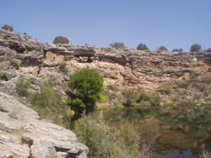
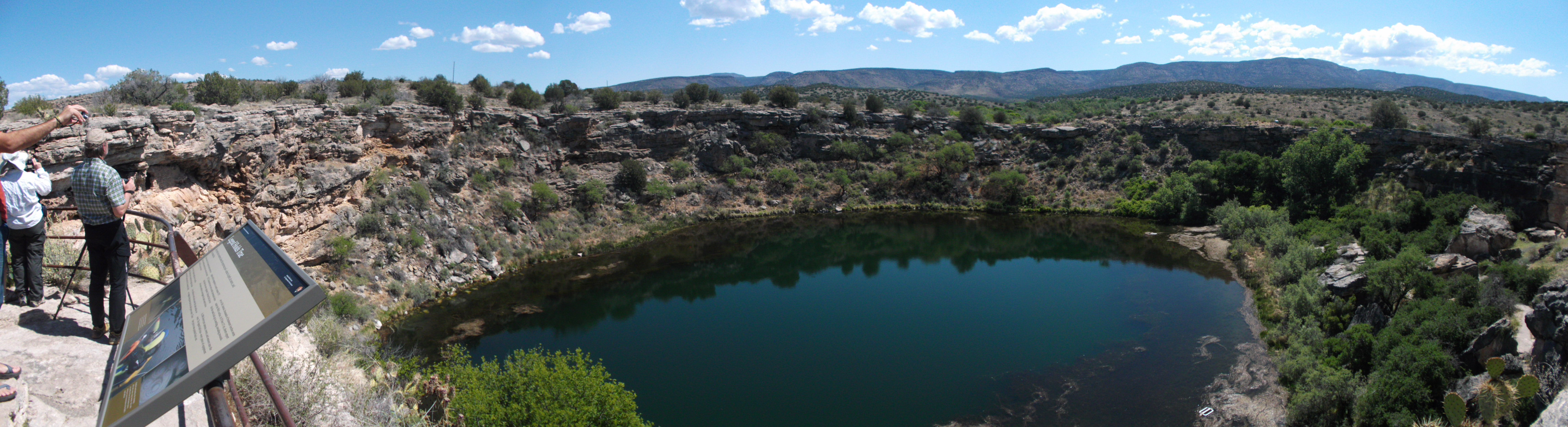
Anouk Verheyden-GillikinMontezuma Well
A natural upwelling of water near the Castle, also inhabited by the Sinagua Culture. Geology, archaeology, and environmental history on display here.
Click here to see more information about Montezuma Well.
Paul Sheppard
Bob Sheppard
Anouk Verheyden-Gillikin
Natalia Riquelme
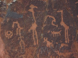
Natalia RiquelmeV-Bar-V Rock Art
A rock art site near Montezuma, loaded with petroglyphs. Geology, archaeology, and environmental history on display here.
Click here to see more information about the V-Bar-V Rock Art site.Click on image to get high-res version.
Paul SheppardOur Options While at the Grand Canyon
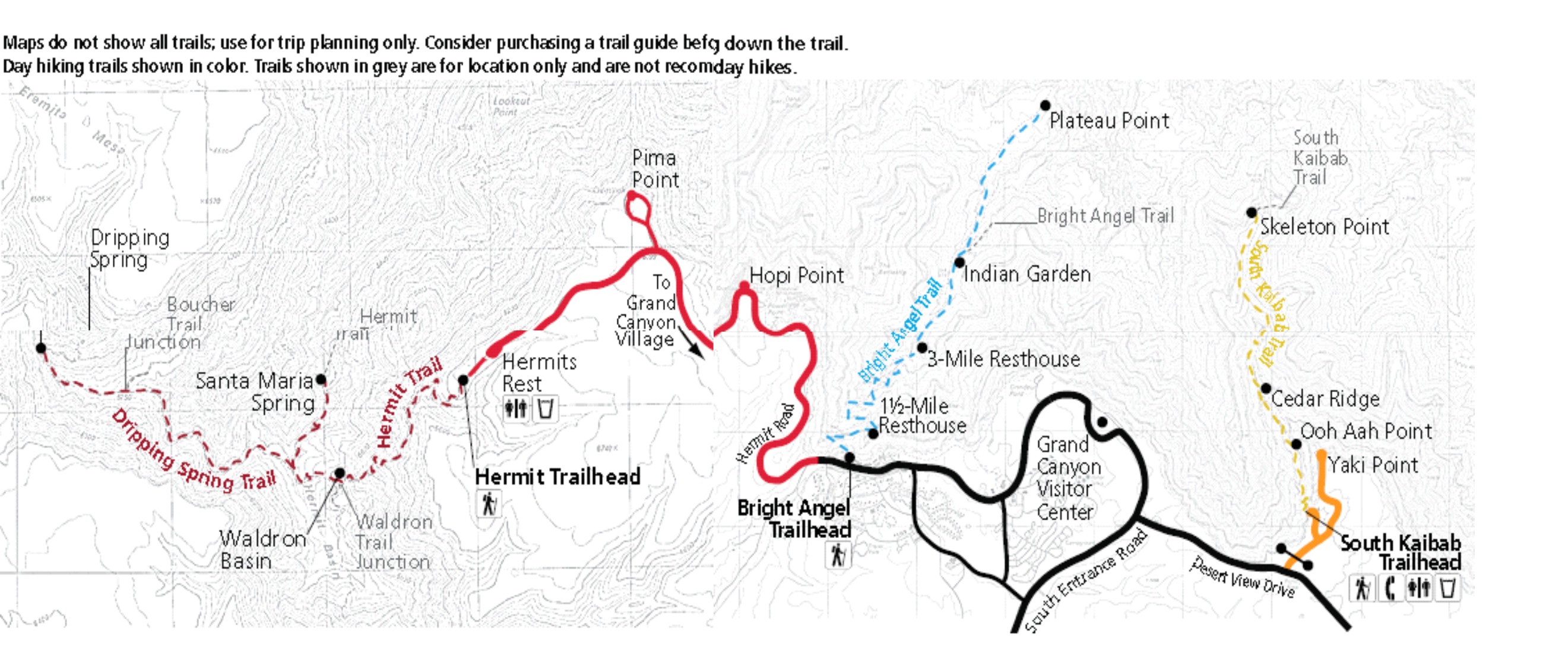
The Grand Canyon is so magnificent that it can be a little overwhelming. First-time visitors often wonder where to start in order to maximize their visit. We'll spend 6½ daylight hours at the Canyon on this excursion. You are welcome to do your own thing at the Canyon (with one important exception), but we trip leaders offer three options that you may choose from and accompany one of us.
First, the exception: We are ruling out any attempt to hike to the bottom and back during our visit. Such a hike would be heroic on an Olympic scale, and we simply don't have time for that.
Our three sub-trips at the Grand Canyon are:
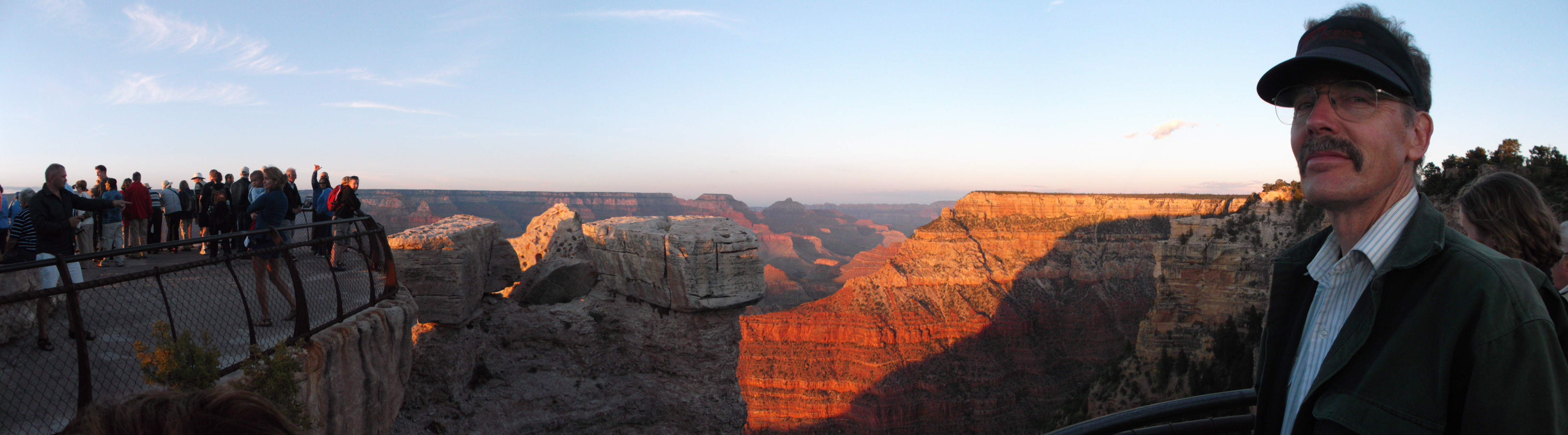
Also, after getting dinner outside the Park, we'll re-enter the Park to catch sunset (7:24 PM) at Yaki Point (orange line). We'll do this together as a group.
- Hiking the South Rim: From where we'll park the vans (Visitor Center), a leisurely stroll west along the South Rim (black line) affords constant vistas of the Canyon and allows for relaxed visitation of classic locations such as:
All the while, the Trail of Time is marked with representative rocks from the Canyon walls in order to see what they look like up close and to know how old they are. One-way, this hike is about 3 miles (5 km) in length, with little to no elevation change. It could be walked in reverse to get back, or there is a free Canyon shuttle back to the vans. This option is easy physically and really quite fun. Trip leader Gary will lead this option.
- Grand Canyon Visitor Center: An equally good starting or ending point to visiting the Canyon.
- Book Store: Hundreds of books, countless other things and gifts for purchase.
- Geology Museum: The single best place to quickly learn the geology of the Grand Canyon.
- Verkamp Center: The quaint, early-settlement era of the Grand Canyon.
- El Tovar Lodge: One of the grand lodges of the US National Park Service.
- Kolb Studio: Early photography and art of the Grand Canyon by the utterly fearless Kolb brothers.
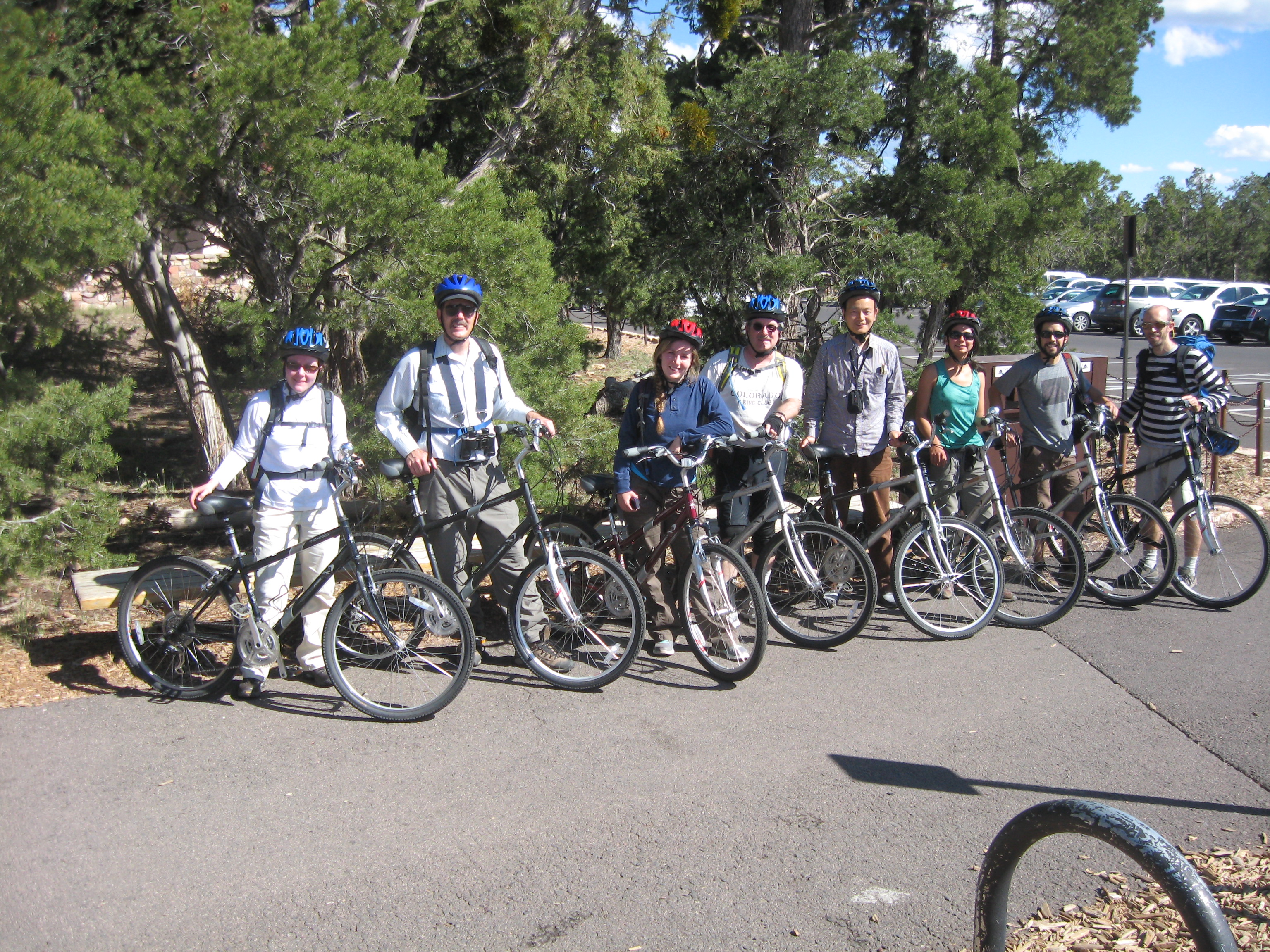
- Cycling the South Rim: From where we'll park the vans, bikes can be rented in order to cycle the South Rim all the way out to Hermits Rest (red line). The bike rental cost is $30, which each person would have to pay on his or her own. Cycling allows for reaching more vistas, and Hermits Rest itself is interesting. There should still be time with this option to see museums and visitor centers back in the Grand Canyon Village, but not the Trail of Time. Round trip, this cycle trip is about 21 miles (34 km), with some elevation change. This option is intermediate physically and as fun as anything else at the Canyon. Trip leader Paul will lead this option.
- Hiking below the Rim: From the Bright Angel Trailhead, a well worn (practically paved) trail goes into the Canyon below the Rim (blue dashed line). One-way from the Rim (elevation of 6860 feet [2111 m]), it is 4.6 miles (7.4 km) down to Indian Garden (elevation of 3800 feet [1169 m]) and then another 1.5 miles (2.4 km) out to Plateau Point (elevation of 3860 feet [1188 m]). Round-trip to Plateau Point and back is 12.2 miles (19.5 km) with 3060 feet (941 m) elevation change. It's not necessary to make it all the way to Plateau Point, but regardless of how far anyone goes down below the Rim, this option is strenuous physically. For those in good shape, it is well worth it, as Plateau Point is the geometric center of the Canyon, a stunning place to get to and spend time at. Indian Garden is also sublimely pleasant, and it has water. Trip leader Patrick will lead this option.
What to Bring
The vans will have room for each person to bring a suitcase of about the size that fits into overhead bins on airplanes these days. Please pack something like the following:Also, you'll be able to safely leave in my office all other possessions that you bring to AmeriDendro but won't be needing on this excursion.
- Light field clothing for three days. Flagstaff is at 7000 feet (2150 m) elevation and daytime highs in May are normally around 68 °F (20 °C).
- Cool weather clothing for evenings. This time of year, nighttime lows in Flagstaff are normally in the low 40s °F (4 °C), but it can approach freezing there, even in mid May.
- Tourist casual top. We'll spend Friday evening at the Lowell Observatory, which is a bit more formal than the dusty field.
- Sun gear. A hat, sunglasses, and sun screen are all essential on this trip.
- Rain gear. It's not likely to rain on this trip, but if you normally carry rain gear, feel free to bring it.
- Shoes. Anyone who wishes to hike below the Rim (see above) should bring sturdy hiking boots that are broken in (no blisters!). For everyone else, lightweight boots or even just good walking shoes should suffice. Besides the "Below the Rim" sub-trip, no other hiking on this excursion will be lengthy, strenuous, or on bad trails.
- Day pack. A normal day pack will suffice to carry water, lunch, extra clothing, and whatever you typically carry in the field for day trips.
- Water bottle. At least one good water bottle (quart or liter) will be essential, and at least two bottles for anyone hiking below the Rim. We'll carry extra water in the vans, but not as individual bottles of water. We can refill your bottles.
- First aid kit. Each trip leader will be carrying a first aid kit. You're welcome to bring supplies of your own, as well, of course.
- Money. Cash, credit, or debit, some money will be needed to pay for dinners and to purchase tourist things. All but one of our stops have gift shops with all sorts of mementos, books, t-shirts, etc., to buy.
- Camera. Bring lots of film (pixel storage space).
Back to AmeriDendro Home Page